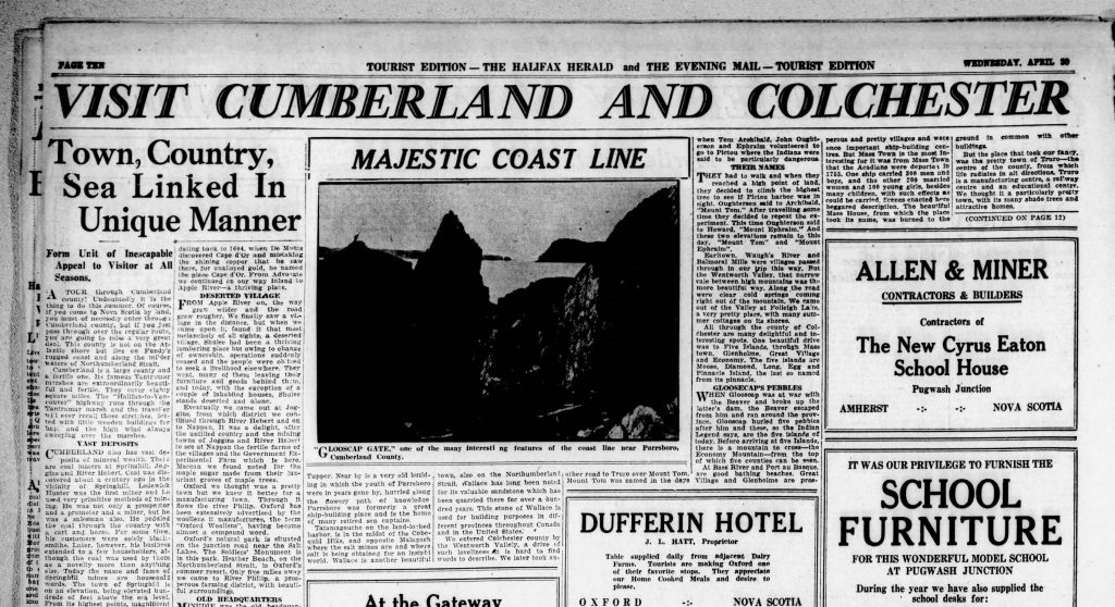
The image in the archived newspaper page was hard to make out. A single photograph on the Cumberland and Colchester page of a special tourist edition of the Halifax Herald and The Evening Mail, on April 30, 1930. However, I could see Cape Split and Cape Sharp so knew exactly where the photographer was located for this view titled “Glooscap’s Gate”.
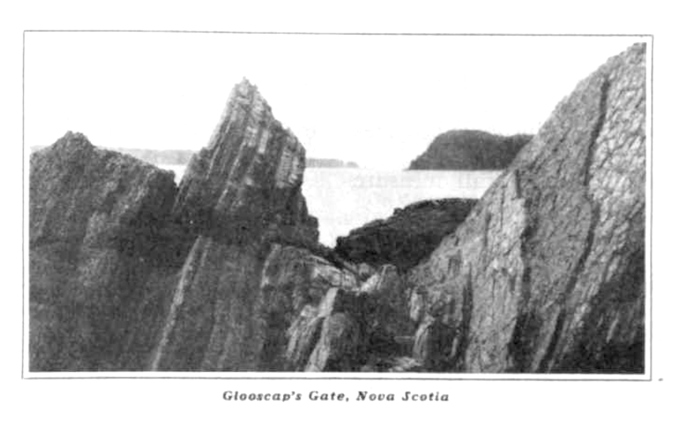
I then found another published version of “Glooscap’s Gate, Nova Scotia” in The Saturday Evening Post on May 3, 1930. The magazine also featured other Nova Scotia scenes attributed to the photographer W. H MacAskill, which led me to suspect he was also the photographer of Glooscap’s Gate.
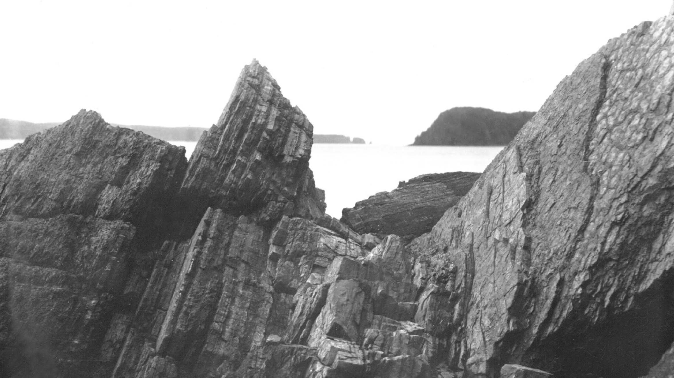
It was a Google reverse image search that connected me to the Nova Scotia Archives page that showed MacAskill’s original photograph. Zooming into the high-quality digital copy, you can see the distinct layers of the rocks at East Bay geosite, in the Cliffs of Fundy UNESCO Global Geopark.
The Photographer
W. R. MacAskill was a prominent Nova Scotian photographer around this time. MacAskill won a prize for a seascape photograph at the International Salon of Real Sociedad Fotografica in Madrid, in 1929. He is most famous for his photograph of the tall ship Bluenose, and now considered a historically significant Nova Scotia photographer (NS Archives).
Visiting the Site
I learned about Glooscap’s Gate just two days before I was planning to travel into the Geopark, to facilitate a Drawing in Geoparks session at the Three Sisters. It was while looking for historic images of the Three Sisters geosite that I found Glooscap’s Gate. The 1930 tourist issue of the nespaper included an image of the Three Sisters. On my drive to the Three Sisters, I couldn’t resist the opportunity to find the site where MacAskill took the photograph titled Glooscap’s Gate.
The East Bay geosite has been the location of so many important photographs and discoveries. Eldon George found his first fossil here when he was just nine years old. The Geological Survey of Canada posed in front of Partridge Island, as viewed from East Bay. And James Woolford drew the view from this location in 1800. Finding a photograph by MacAskill from the same location was a thrill, and I had to visit and try and find the historic vantage point.
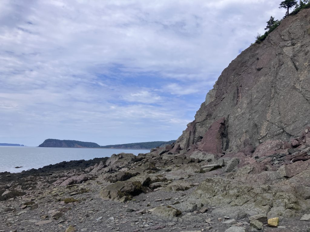
As I arrived, a large bald eagle flew overhead. Always a good omen and a lovely welcome as I walked along the beach. The cliff exposures here are dramatic. The sheer cliff has large planes of rippled and mud cracked surfaces. This provides the place with some danger. This is an actively eroding cliff, and you should not linger long directly under these cliffs.
Drawn to the Site
It was not hard to locate the vantage point, based on the location of Cape Split and Cape Sharp in comparison with the plane and angles of the geological bedding. Significant erosion has occurred, with many large fragments of the cliff lie scattered at the base. Although the dramatic framing MacAskill captured has changed, I sat to do a quick drawing of the scene.
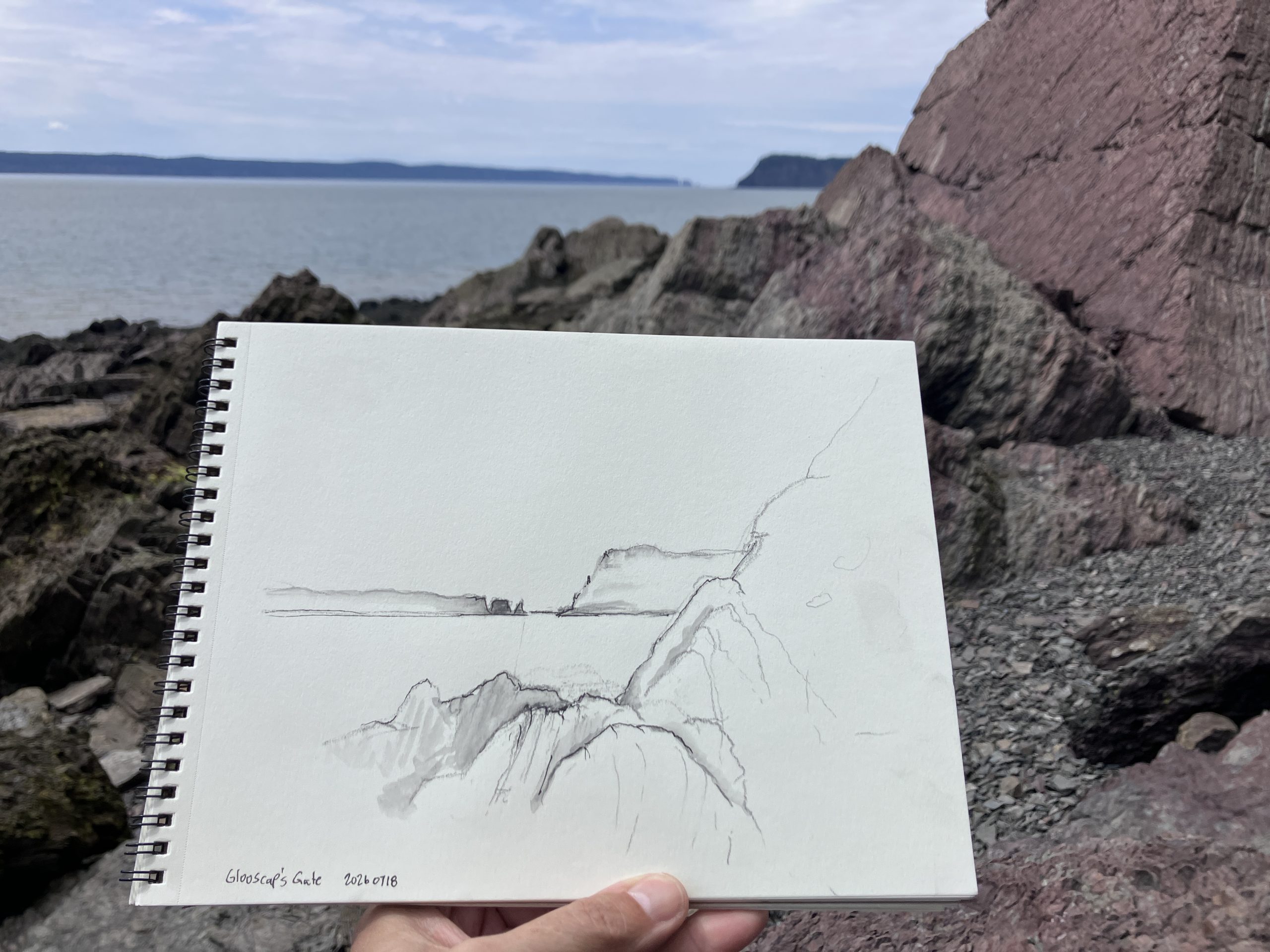
While I was drawing, a raven cawed and chattered in the tree above. The waves lapping on the beach approached ever closer with the rising tide. The sunshine was warm, but the air was cool from the breeze off the Minas Basin. Drawing from observation sharpens your senses and immerses you in the present moment.
Walking back to the car, I thought of MacAskill and wondered about the shutter speed of his photograph. Such a small moment in time, framed in geology and titled Glooscap’s Gate to signify knowledge and respect to the rich and ongoing heritage of Mi’kmaw culture.
Leave a Reply