During a recent trip to Tasmania, I spent several days drawing the geology of the Hobart Rivulet. The rivulet provides easy access for urban geology activities, and has connections to kunanyi (Mount Wellington) that looms over the area and the Cascades Female Factory World Heritage Site.
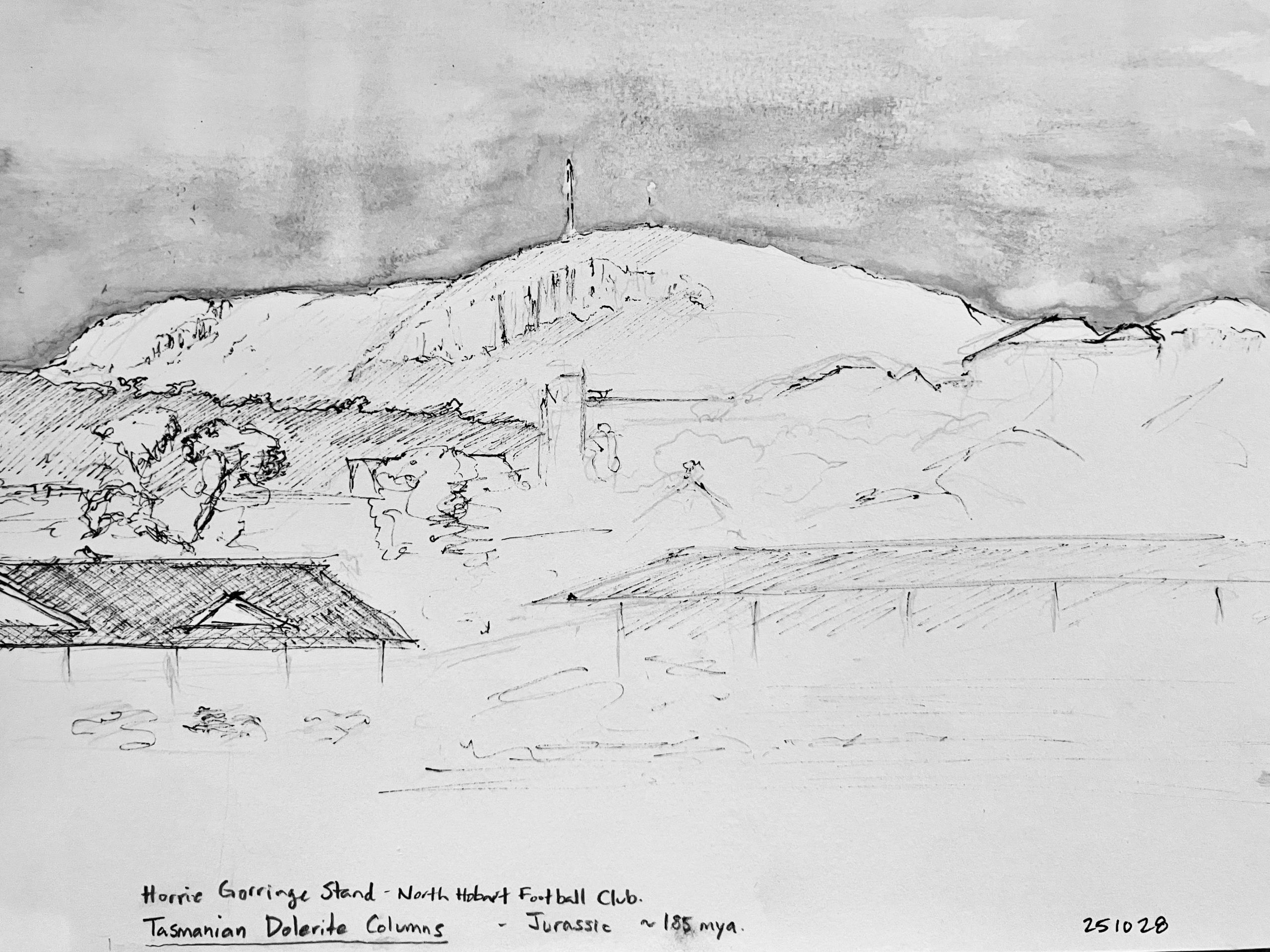
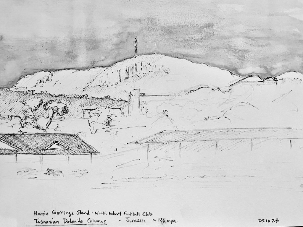
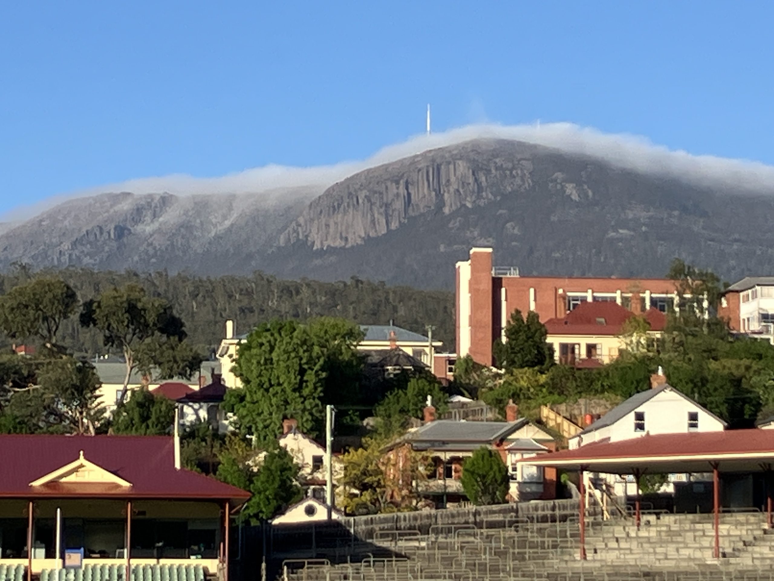
I traveled 35 hours to arrive in Hobart, basically the opposite side of the planet from Nova Scotia. Early in the morning, I did a drawing of my first view of the dolerite columns of kunanyi, as viewed from the North Hobart Football Club.
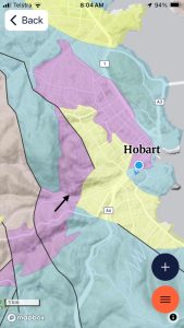
For convenience, during my visit in Hobart I used the RockD app for my source of local geology mapping. The Carboniferous Lower Palmeener Supergroup (brown), Triassic Upper Palmeener (purple), Jurassic Dolerite (blue), and most recent Quaternary (yellow) were the main bedrock units. With several days in Hobart, I decided to explore the Hobart Rivulet because it was within walking distance of the wharf and had included representative geology of the area.
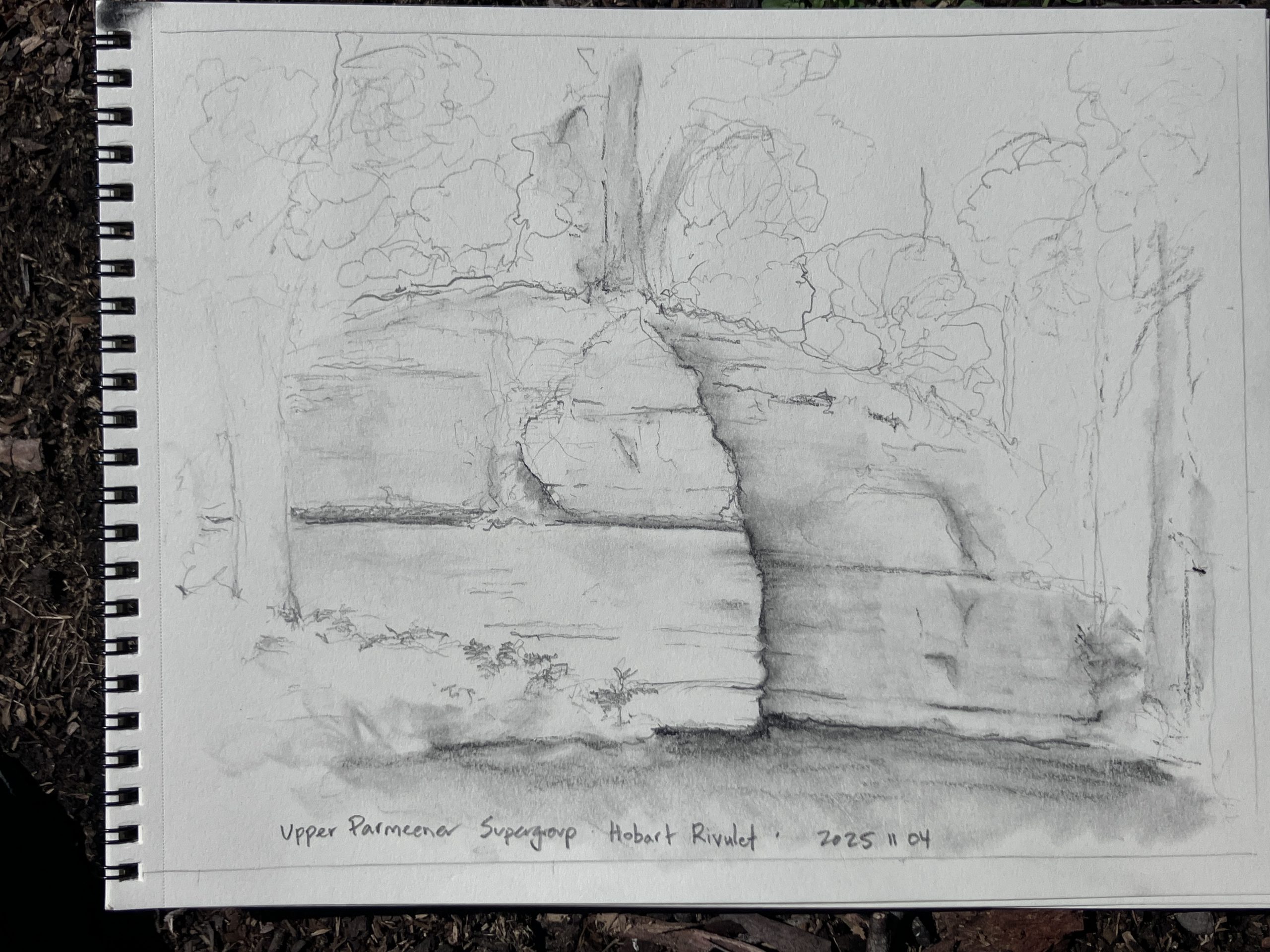
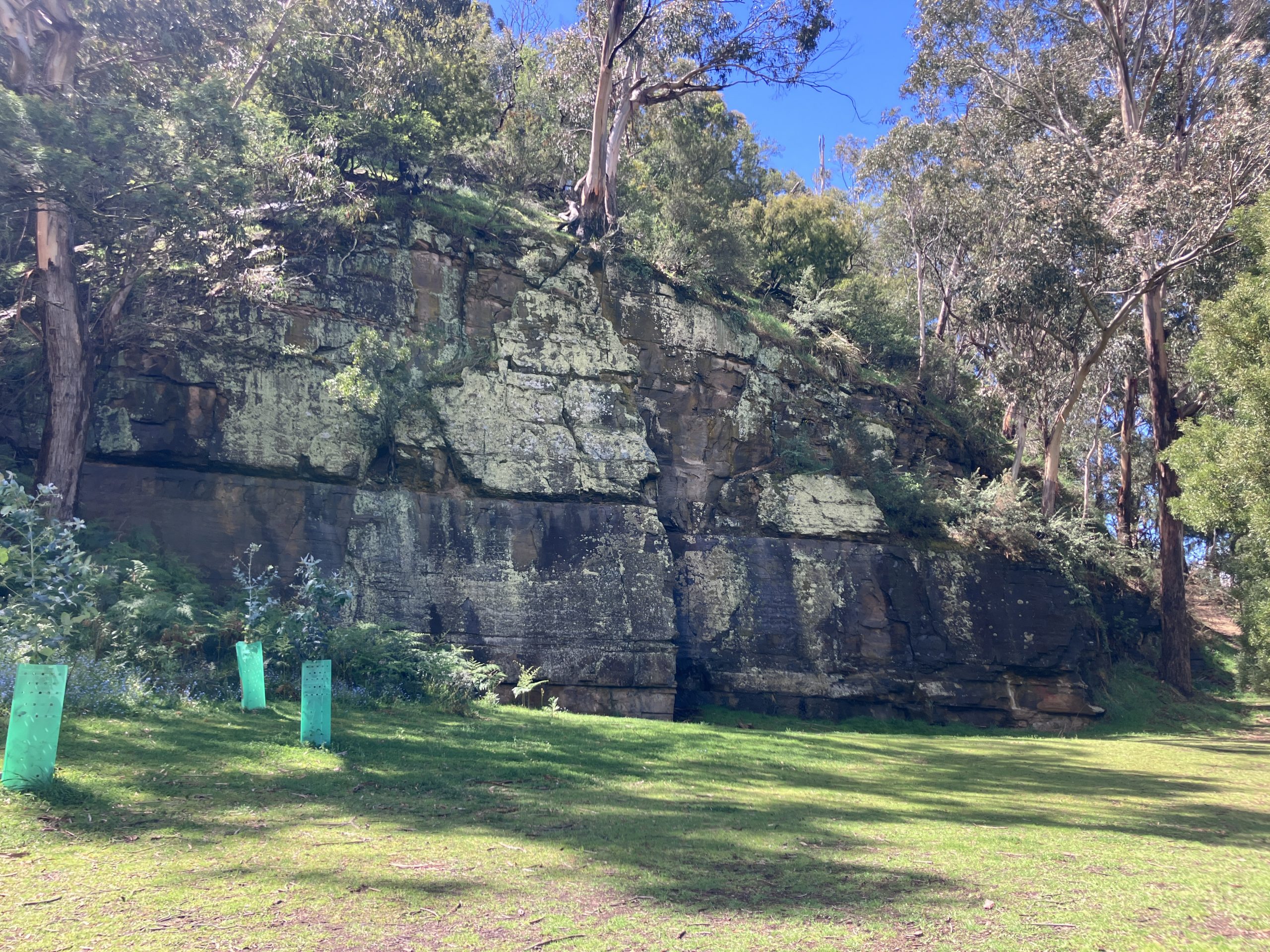
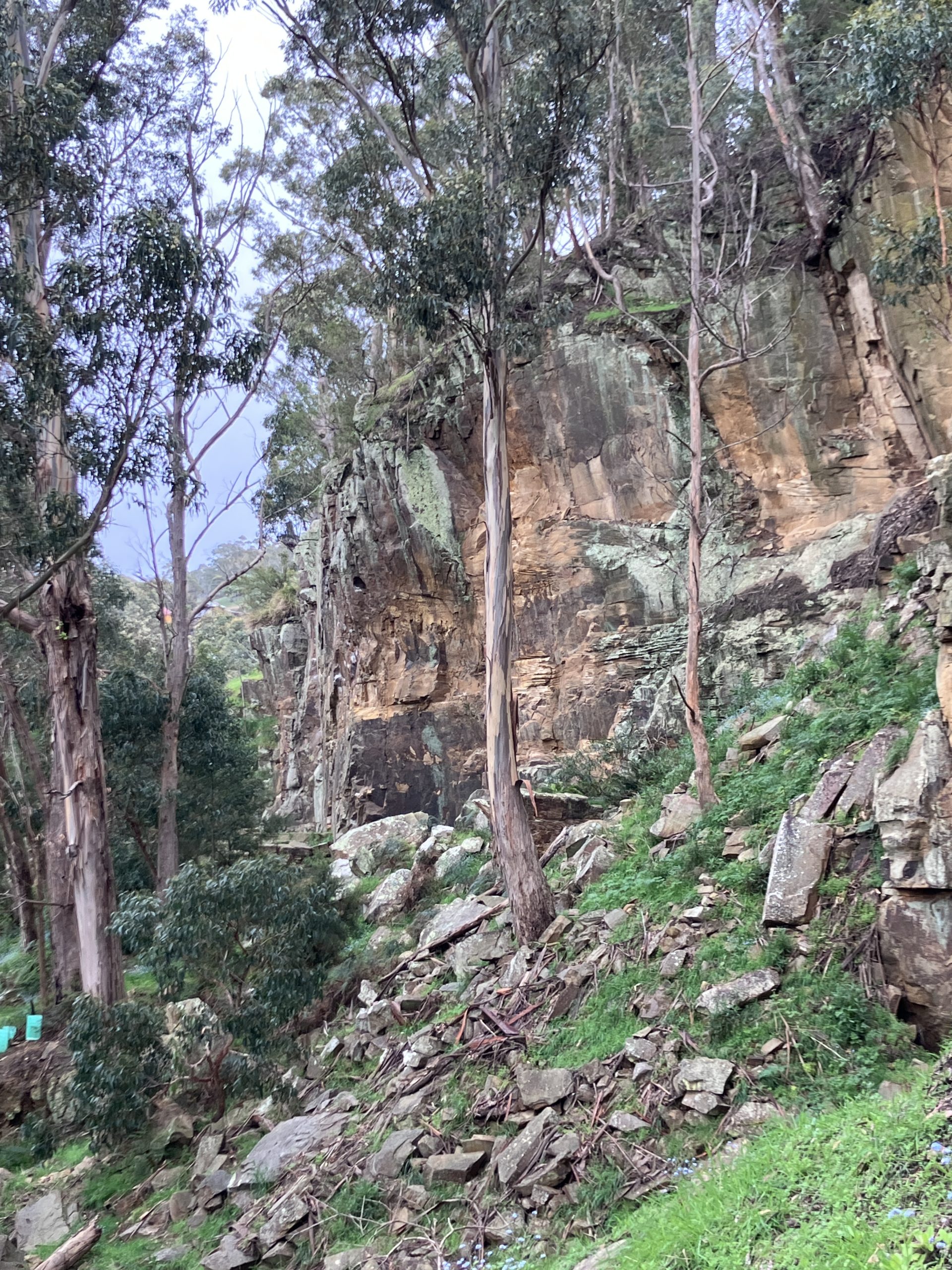
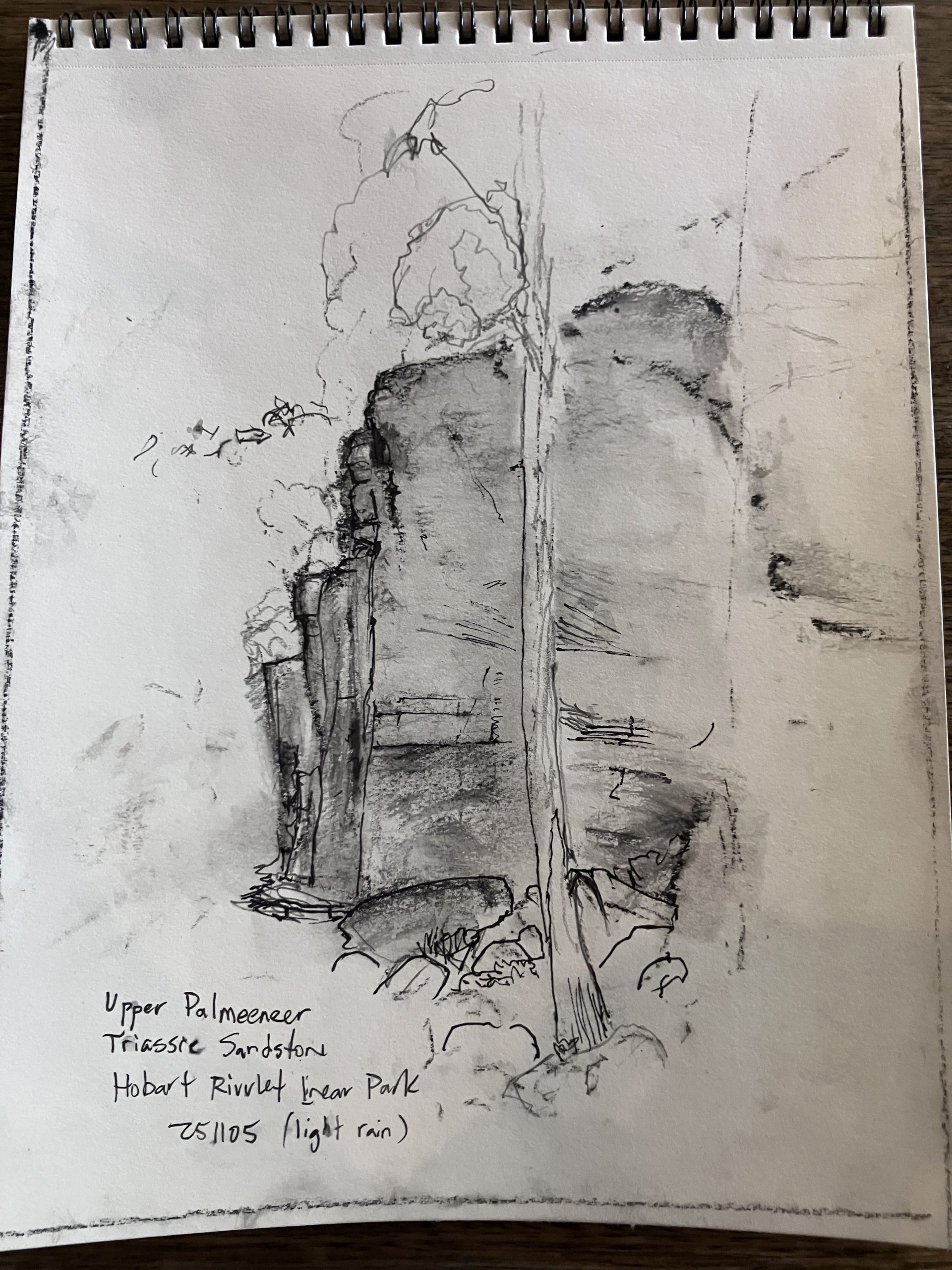
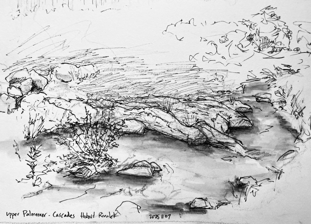
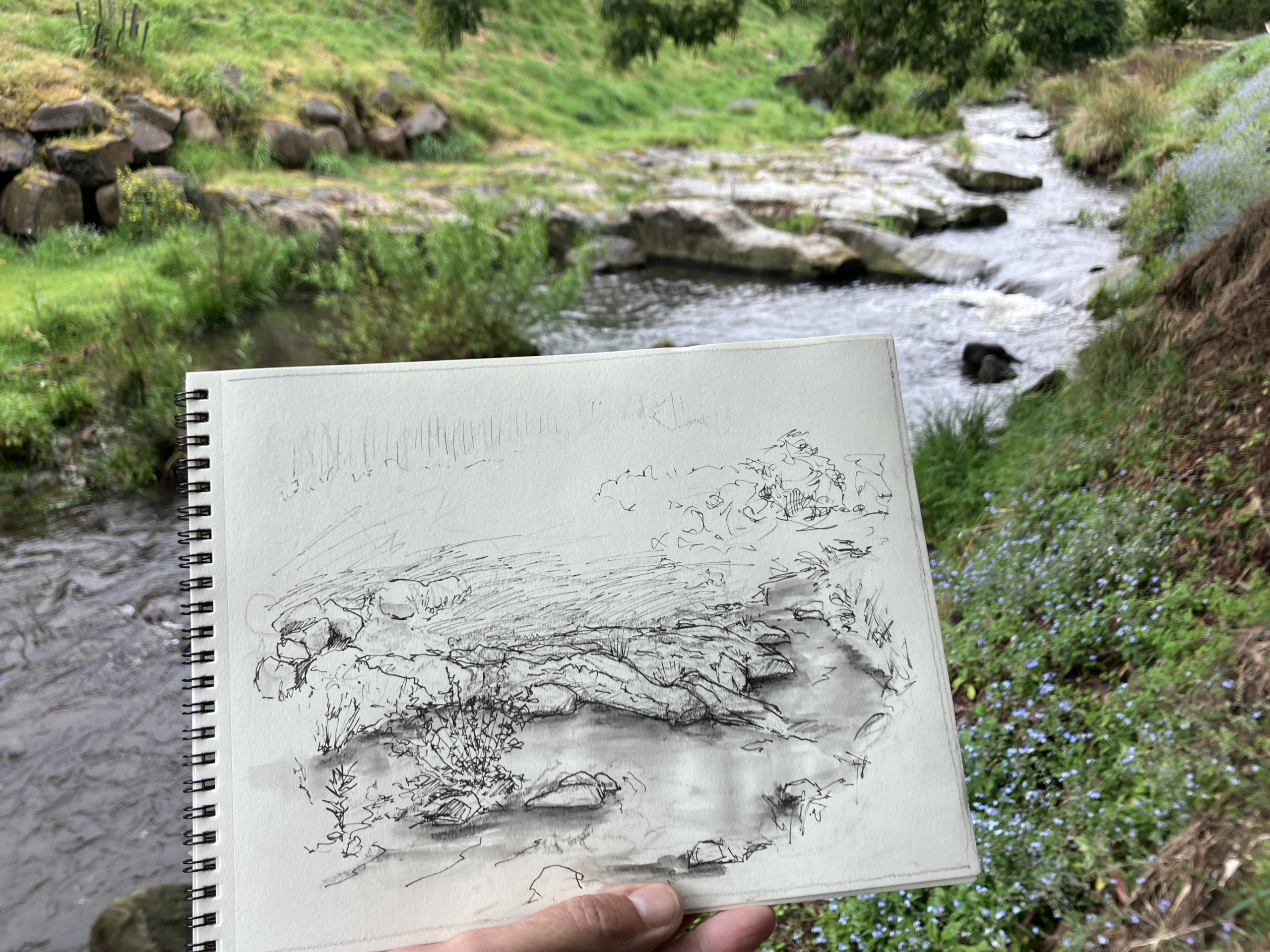
I began by focusing attention on the Triassic outcrops. Local rock climbing community uses several of the large rock exposures. While drawing, the smell of the Eucalyptus trees filled the air. I noticed ferns growing in the shadows of the Triassic bedrock.
Drawing the geology of a place provides an opportunity to spend time observing, and being present. Noticing the bedding features, fault surfaces, and shapes of boulders. Darting among the shrubs, a Superb Fairywren was building a nest.
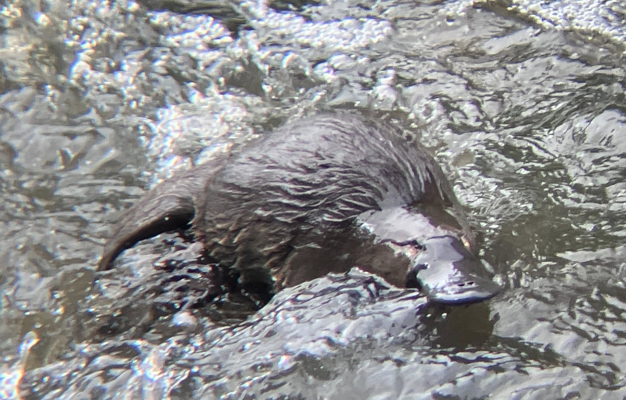
An important feature of the Hobart Rivulet is the cascading water, which is directly related to the orientation of the Triassic sandstone bedrock. The water courses over the ancient sandstone platforms, dropping from layer to layer. Deep pools form in several areas, where the Hobart Rivulet Platypus fishes for arthropods below the water.
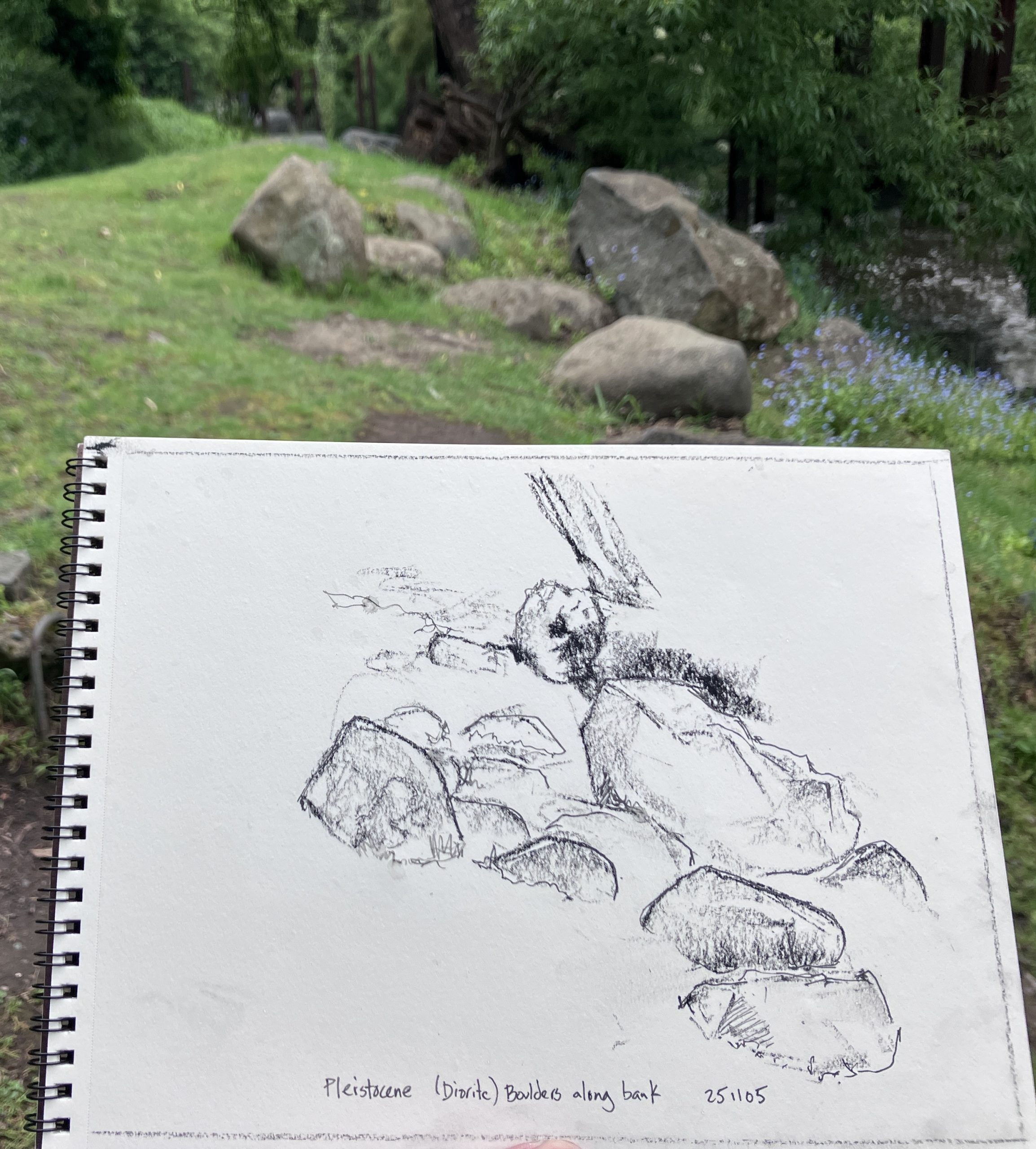
Along the banks of the Hobart Rivulet are rounded boulders of Jurassic dolerite. These boulders are particularly common in the areas where Quaternary bedrock lines the Rivulet. I wonder, how long did it take for these boulders to be smoothed and rounded, traveling down the course of the river?
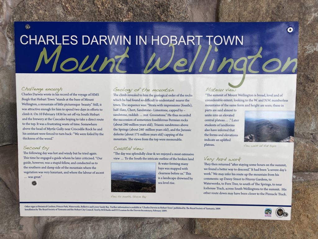
One morning I took the bus up to summit of kunanyi. At the top, the cold wind was blowing and the views obstructed by clouds. Inside the observation platform I was interested to read the accounts of Charles Darwin visiting the summit and walking along the Hobart Rivulet in 1836.
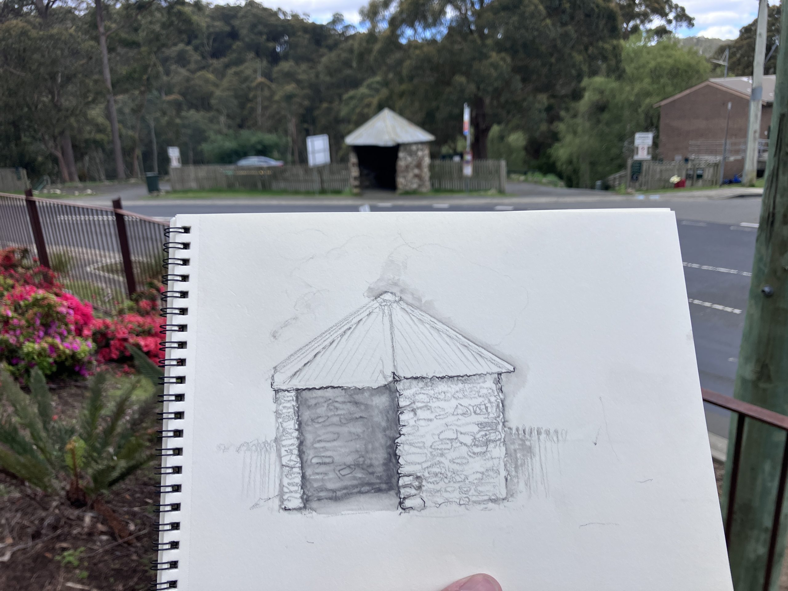
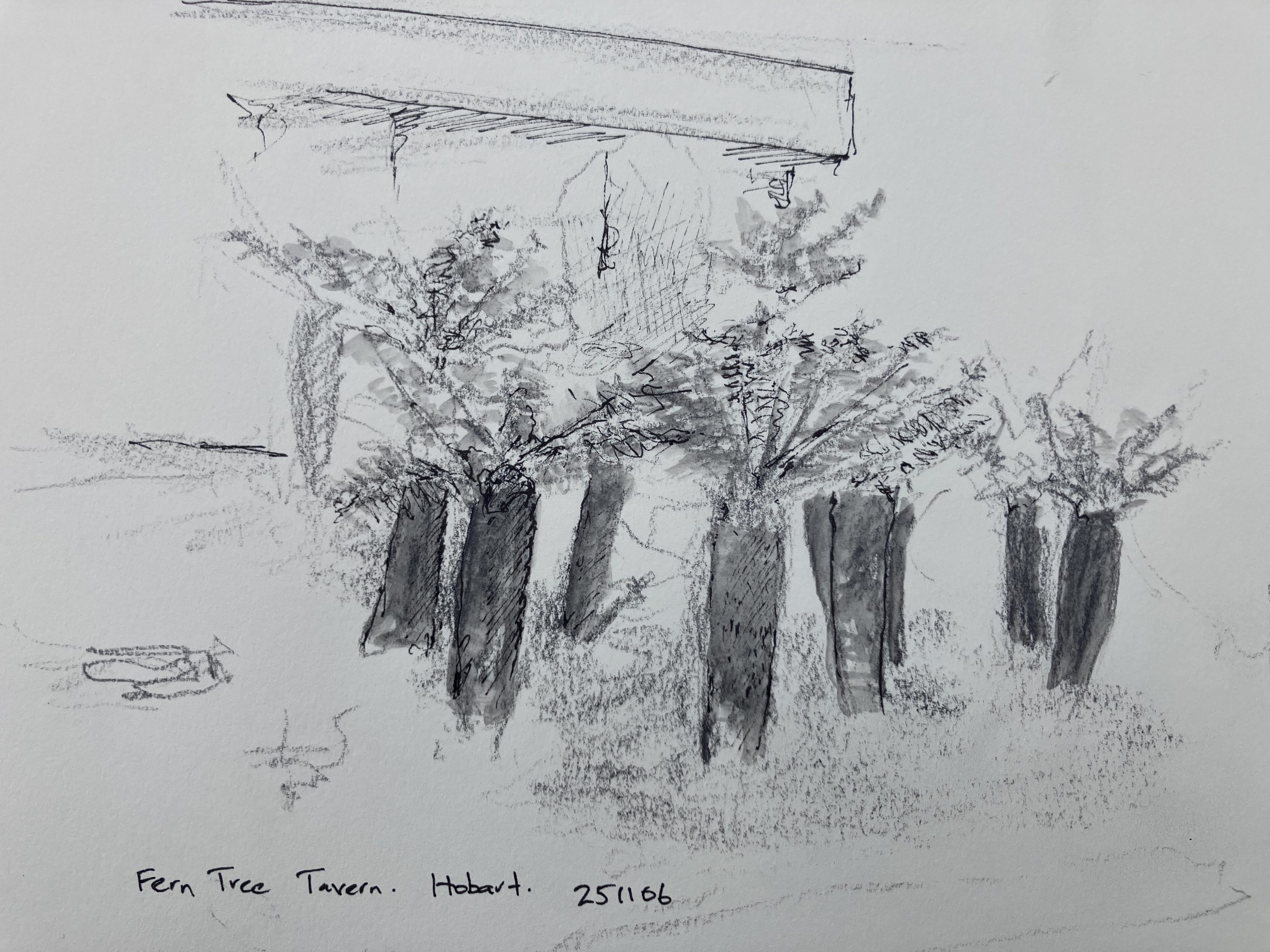
On the return trip to Hobart, I decided to stop in Fern Tree for a couple of hours. The Pipeline Track down toward the Waterworks reserve is a pleasant walk. At Fern Tree I spent a short time drawing the bus shelter that was constructed by the local stonemason Raymond Hilton. After a nice lunch, I also drew the fern trees next to the restaurant, seeming to sprout from the Carboniferous landscape.
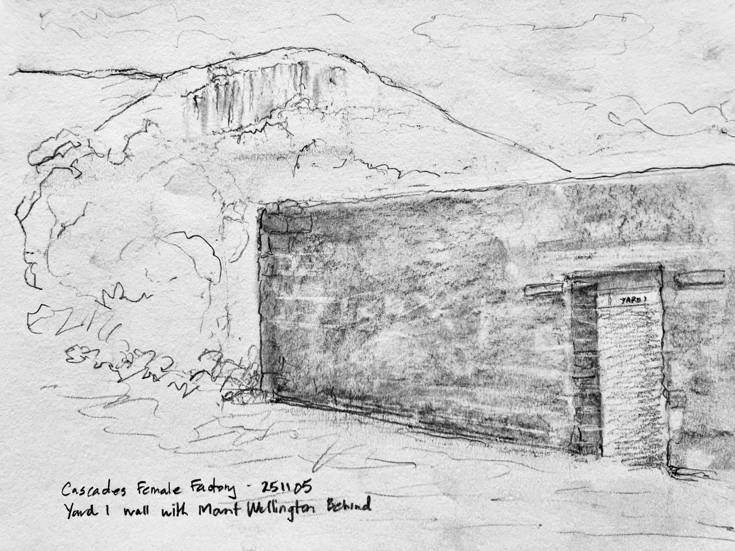
Back at the bottom, I visited another important site was the Cascades Female Factory World Heritage Site. The exhibit and tour provided important information about the history of forced migration of convict women and girls, and their contribution to colonization throughout the history of colonial Australia to the present day. I drew the stone wall of Yard 1 (built in 1820s) and the view of kunanyi the women would have had as part of their lives.
I enjoyed my days walking along the Hobart Rivulet, and hope to return again sometime. The geodiversity of Tasmania has so much to explore. Traveling to the opposite side of the planet, I also traveled back in time, visiting Carboniferous and Jurassic outcrops that are also so important here in Nova Scotia.
Leave a Reply